
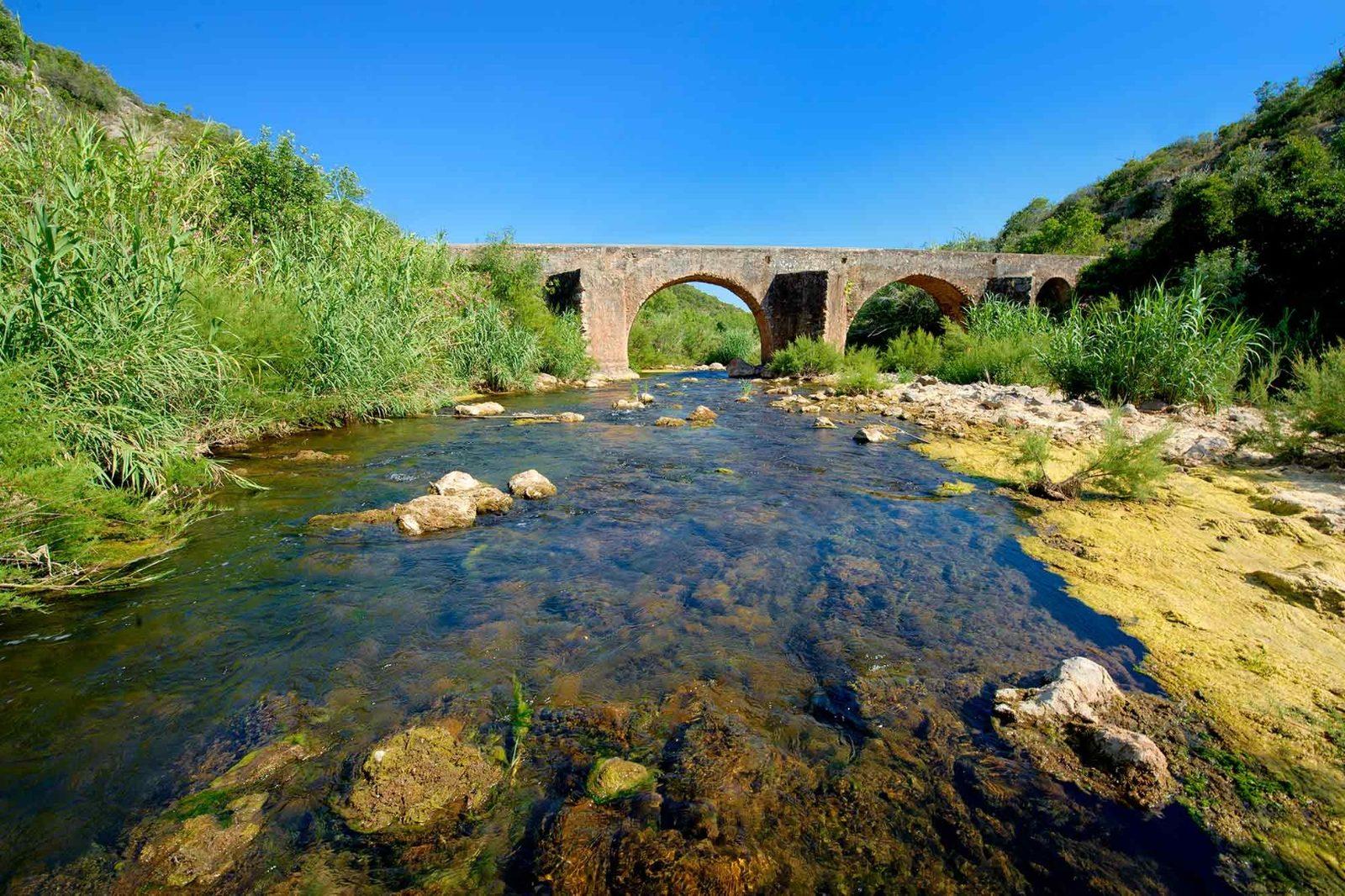
Paderne Medieval Bridge
Local tips
See it together with the castle and the watermill, both a few minutes' walk away. After rain the stream runs under the arches; in summer it is usually dry.
Location
What's happening nearby
Upcoming events in the area
 15 Nov
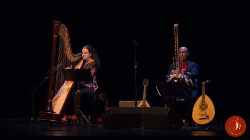
VI Algarve Harp Festival
Igreja Matriz de Paderne
 17 Nov
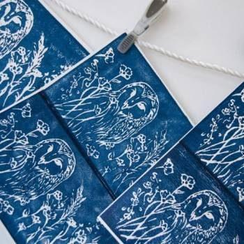
Introduction to Printmaking Workshop with Musgami Paper
Centro de Artes e Ofícios Carlos Silva e Sousa
 21 Nov
Presentation of the book 'The Time Traveller' by Ana Alexandra Resende
Biblioteca Municipal Lídia Jorge
 21 Nov
Nature Illustration Workshop - Scratchboard
Centro de Artes e Ofícios Carlos Silva e Sousa
Where to eat nearby
Top restaurants in the area


Reviews
Discover more hidden treasures
More options near Albufeira
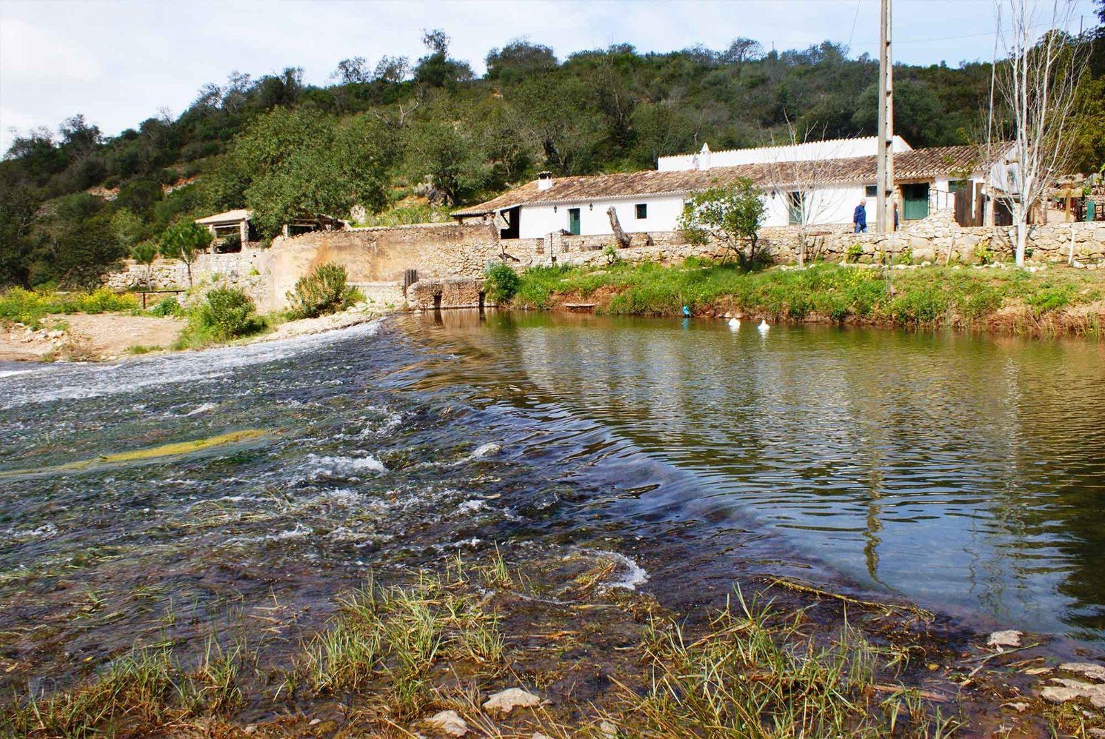
Paderne Castle Watermill
The Azenha do Castelo is an old watermill on the right bank of the Quarteira stream, at the foot of Paderne Castle. You will also see it called Azenha da Cabana or Azenha da Cabana do Castelo. Nobody knows when it was built. Watermills like this predate windmills in the region and are usually linked to the Islamic period, and the charter King Manuel I granted to Albufeira in 1504 already mentions them. The stream turned the wheel that drove the millstones. The mill sits inside a Natura 2000 area and marks the start of the Quarteira stream biodiversity trail, a 2 km loop along the water. Plants here include Thymus lotocephalus, a thyme given priority conservation status in Europe, along with carob and dwarf fan palm. The PR1 ABF walking route runs right past it.
Albufeira
Paderne Castle
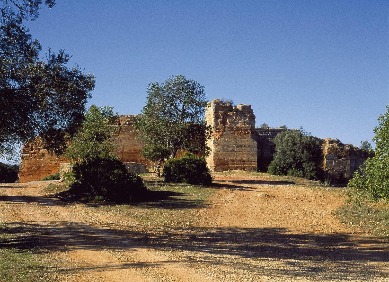
Paderne Castle is a 12th-century Almohad fort built of rammed earth on a hilltop about 100 metres high, inside a tight bend of the Quarteira stream. It stands roughly 2 km south of Paderne village, between the coast and the limestone hills of the Barrocal. King Sancho I took it in 1189, only to lose it again soon after. The Order of Santiago, led by Paio Peres Correia, captured it for good in the mid-13th century. The original village of Paderne stood inside these walls and only later moved to where it is today. Tradition has it that this is one of the castles shown on the Portuguese flag. What survives are the rammed-earth walls, the detached albarrana tower and the shell of the chapel of Nossa Senhora da Assunção by the entrance. The castle has been a listed monument since 1971, and restoration of the walls was completed in December 2023. The valley below holds a medieval bridge, a watermill and the Quarteira stream biodiversity trail, all linked by the PR1 ABF walking route.
Albufeira
Cerro de São Vicente
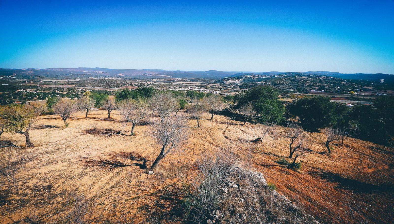
Cerro de São Vicente is a 169-metre hill west of Paderne with the ruins of an old windmill on top. It is the high point of the PR2 ABF walking route and one of the best places to take in the Barrocal countryside around the village. From the summit you look over the valleys of the Alte and Algibre streams, which meet nearby to form the Quarteira. The valleys cut through Upper Jurassic rock about 160 million years old. You can also pick out the remains of a former brickworks, with its chimneys and flooded clay pits, and the motorway crossing the valley. The PR2 ABF is an 11.5 km loop that leaves Paderne, passes the chapel of Nossa Senhora ao Pé da Cruz and the hamlet of Purgatório, climbs the hill and returns along the Alte and Algibre floodplains, between dry-stone walls and almond, fig and carob trees.
Albufeira
Queda do Vigário
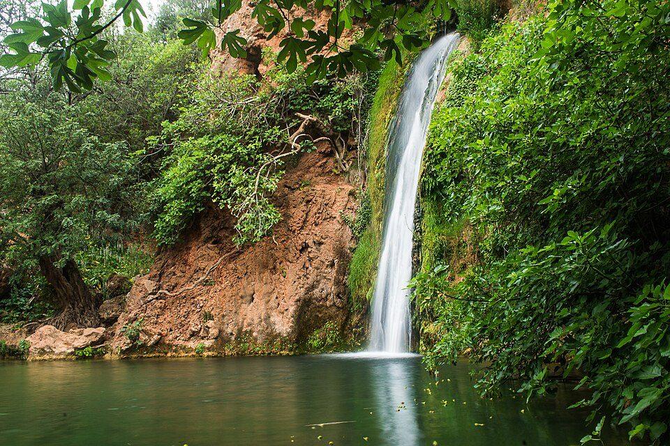
Queda do Vigário, also called the Alte waterfall, is a 24-metre drop on the Alte stream, at the opposite end of the village from the springs. The water does not come from recent rain but from underground: it rises at the Alte springs upstream, part of the Querença-Silves aquifer, the largest freshwater reservoir beneath the Algarve. It travels through fractures and cavities in Lower Jurassic limestone and comes to the surface where it meets less permeable rock. Because it carries so much dissolved carbonate, it deposits calcite on the banks and bed of the stream as it meets the air. That is how the tufa the waterfall runs over was formed, and it preserves plant remains: grasses, moss, and olive and oak leaves.
Loule