Algarve Atlas

Hidden Gems

78 hidden gems found

Suggest a hidden gem
Alcoutim◈ Villages

Alcoutim

Easy

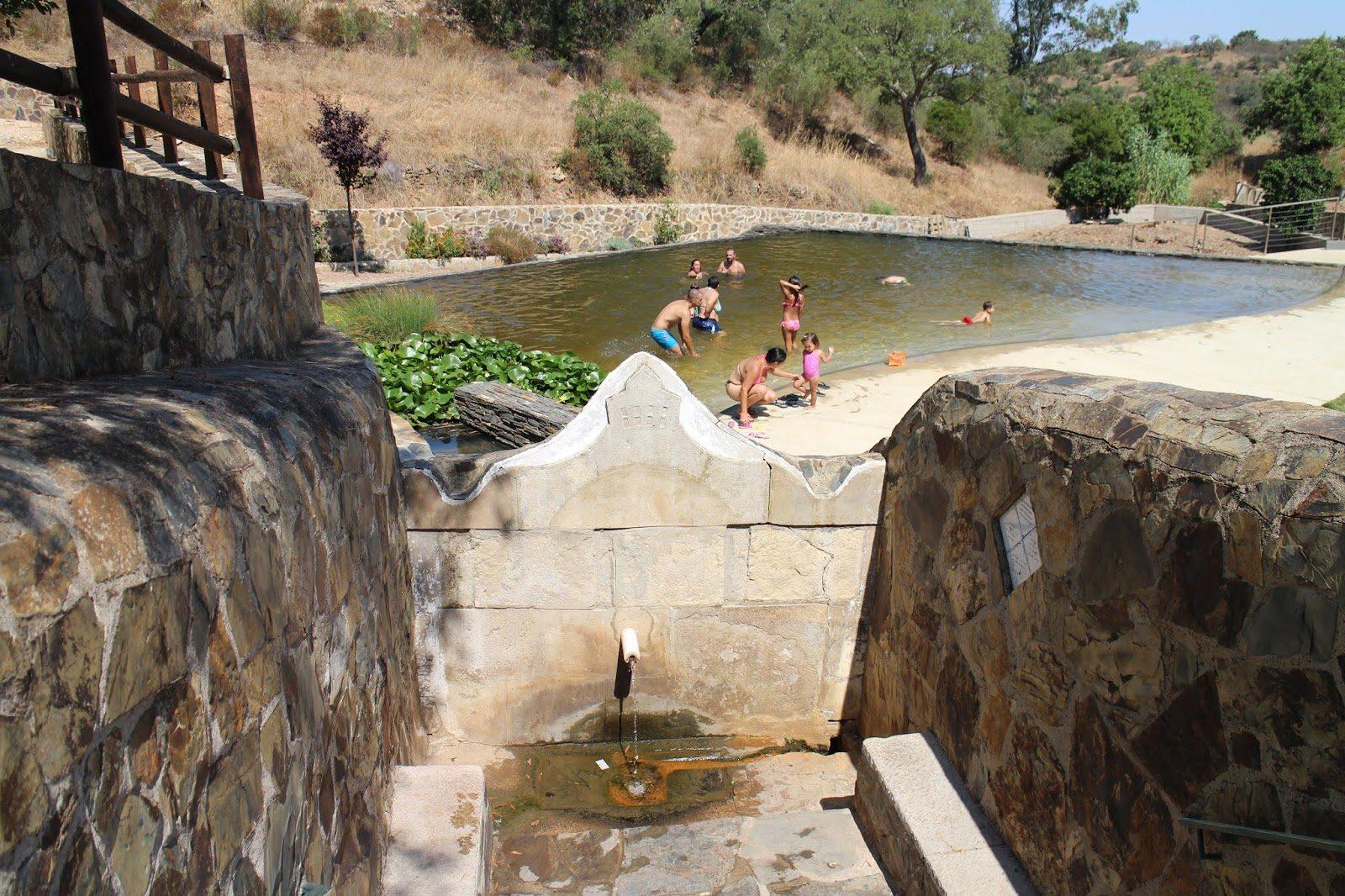
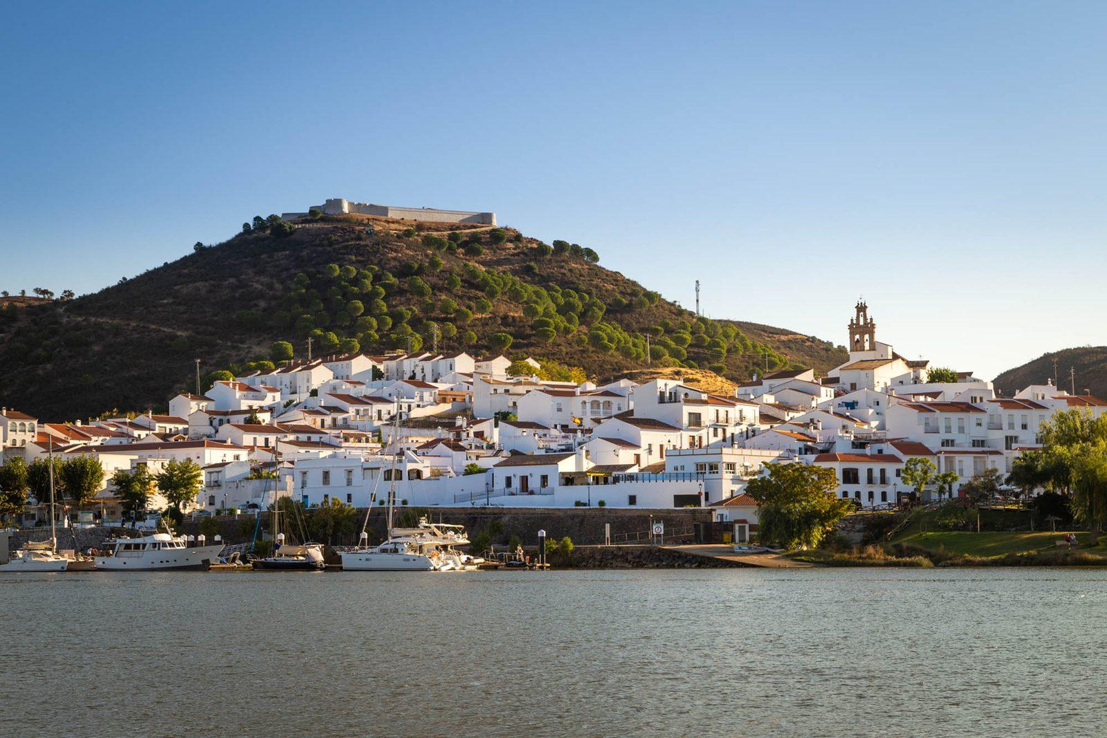
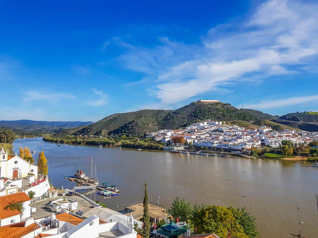
Alcoutim is a small town in the far north-east of the Algarve, on the bank of the Guadiana and directly opposite the Andalusian village of Sanlúcar de Guadiana. It grew up after the Treaty of Alcanizes (1297) made the river a border: King Dinis had the castle built around 1304, the year of the town charter, on a hill between the Guadiana and the Cadavais stream. In 1371 the kings of Portugal and Castile signed the Peace of Alcoutim here. From the castle, which houses the archaeology museum, winding streets lead down to the quay, in much the same spot as its medieval predecessor. Beside it, on a small rise, stands the parish church of São Salvador, from the first half of the 14th century. The Pego Fundo river beach is about 500 metres from the centre, and 1 km from town, above the river, are the ruins of Castelo Velho, an Islamic fort founded in the 8th or 9th century. The river still links the two banks. A boat crosses to Sanlúcar, and the zipline over the Guadiana starts on the Spanish side and lands in Alcoutim: 720 metres in under a minute.

Alcoutim·Spring
Aldeia da Pedralva◈ Villages

Aldeia da Pedralva

Easy

A restored village in the Vila do Bispo municipality, with a very unique and distinct vibe. Almost abandoned for years, it has been revitalized as a sustainable tourist village, maintaining traditional architecture and community spirit. The whitewashed houses, dirt streets, and rural surroundings create an atmosphere of authenticity and relaxation that attracts travelers seeking something different.

Vila do Bispo·All year
Alte◈ Villages

Alte

Easy

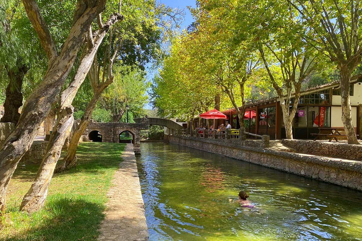
Alte is a village in the interior of Loulé that many rank among the prettiest and most traditional in Portugal. What defines it is its stream, which runs through the village from Fonte Grande down to Queda do Vigário, where the water drops 24 metres. Along the banks are vegetable plots, irrigation channels, weirs and old watermills, reminders of the days when wheat was ground here and esparto grass left to soak. The springs were also where the village washerwomen met. In the village itself, look for the chimneys, the flowers, the engravings on the walls and the cobbled streets. The parish church and the Pólo Museológico Cândido Guerreiro e Condes de Alte are worth a visit. Cândido Guerreiro, a poet born in Alte, is commemorated at Fonte Pequena. At Fonte Grande there is a natural swimming pool, picnic space and an open-air amphitheatre used for shows.

Loule·Spring
Ameixial◈ Villages

Ameixial

Easy

Ameixial is the northernmost village in Loulé municipality, up in the Serra do Caldeirão, with the EN2 road running through it. It is the seat of its parish and has the basics: a parish office, a cash machine, grocery shops and the church of Santo António. There is ancient heritage all around. The Pedra do Alagar dolmen is close to the village, and further on, by the Pé do Corso spring, stands the Beringel dolmen. The hamlet of Corte do Ouro still has round houses, and ruined windmills dot the hilltops. Walkers have three options. The PR1 is a very easy 4.6 km loop from the leisure park at the village entrance, dropping into the Vascãozinho valley and passing the motorhome park set up in a former cork factory. The PR2 heads for Corte de Ouro. And Link 6 of the Via Algarviana runs 21.9 km to near Barranco do Velho, through cork oak woods, rockrose scrub and strawberry trees. The village hosts the Walking Festival Ameixial.

Loule·Spring
Paderne Castle Watermill◈ Heritage

Paderne Castle Watermill

Easy

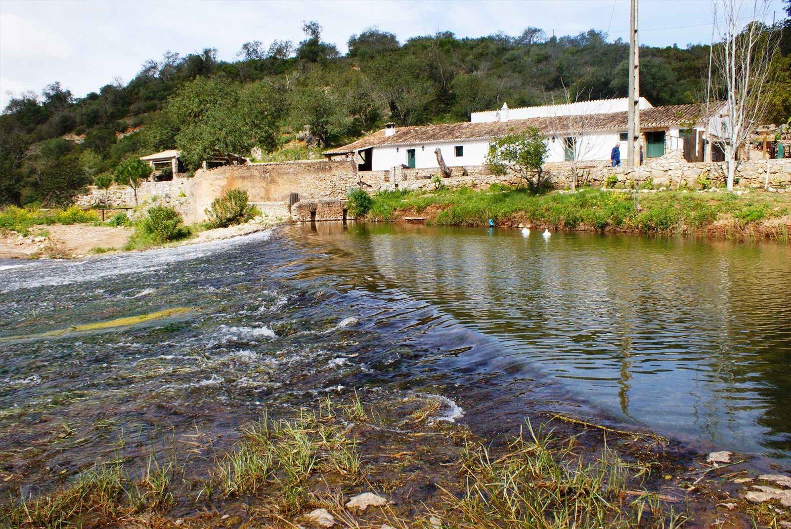
The Azenha do Castelo is an old watermill on the right bank of the Quarteira stream, at the foot of Paderne Castle. You will also see it called Azenha da Cabana or Azenha da Cabana do Castelo. Nobody knows when it was built. Watermills like this predate windmills in the region and are usually linked to the Islamic period, and the charter King Manuel I granted to Albufeira in 1504 already mentions them. The stream turned the wheel that drove the millstones. The mill sits inside a Natura 2000 area and marks the start of the Quarteira stream biodiversity trail, a 2 km loop along the water. Plants here include Thymus lotocephalus, a thyme given priority conservation status in Europe, along with carob and dwarf fan palm. The PR1 ABF walking route runs right past it.

Albufeira·Spring
Azinhal◈ Villages

Azinhal

Easy

Azinhal is a village close to Castro Marim and the seat of a hill parish of 68.7 square kilometres, the third largest in the municipality, with 479 residents in 2021. It is known for two things: its bread and pastries, good enough to draw people from elsewhere, and bobbin lace, still made by a handful of lacemakers who show their work at fairs and markets. Local tradition ties the origin of the lace to the Legend of Azinhal, a love story. The village has the church of Espírito Santo. To the east, on high ground, a windmill gives a sweeping view over the Guadiana. The Espaço Multiusos houses the Queijaria Experimental, which sells and offers tastings of fresh cheese and yogurt made from Algarve goat's milk. The GR15 Rota do Guadiana trail climbs to Azinhal on its stretch between Junqueira and Odeleite and meets the PR3 'Janelas do Guadiana' walk here. The village holds a monthly market.

Castro Marim·All year
Odeleite Dam◈ Nature

Odeleite Dam

Easy

The Odeleite dam was built in 1997 on the stream of the same name, to irrigate farmland and supply water to part of the Algarve. It is a rockfill dam with a maximum height of 65 metres and a crest 347 metres long, and its reservoir covers about 720 hectares of winding bends between steep slopes. From the air it looks like a dragon, and it was as the 'Blue Dragon' that an aerial photograph made it famous online. Since 26 June 2026 it has had a river beach, next to Odeleite village. The opening was put off for several years because of drought. The bathing area is a floating platform of 20 by 10 metres with two pools, one for children, reached by two floating walkways and a bridge. Above it are a terraced sun deck, the bar and the changing rooms. There is parking and lifeguard cover, and the site includes a centre for non-polluting water sports. In 2026 it was the only inland beach in the Algarve with a Blue Flag.

Castro Marim·Summer
Álamo Roman Dam◈ Heritage

Álamo Roman Dam

Easy

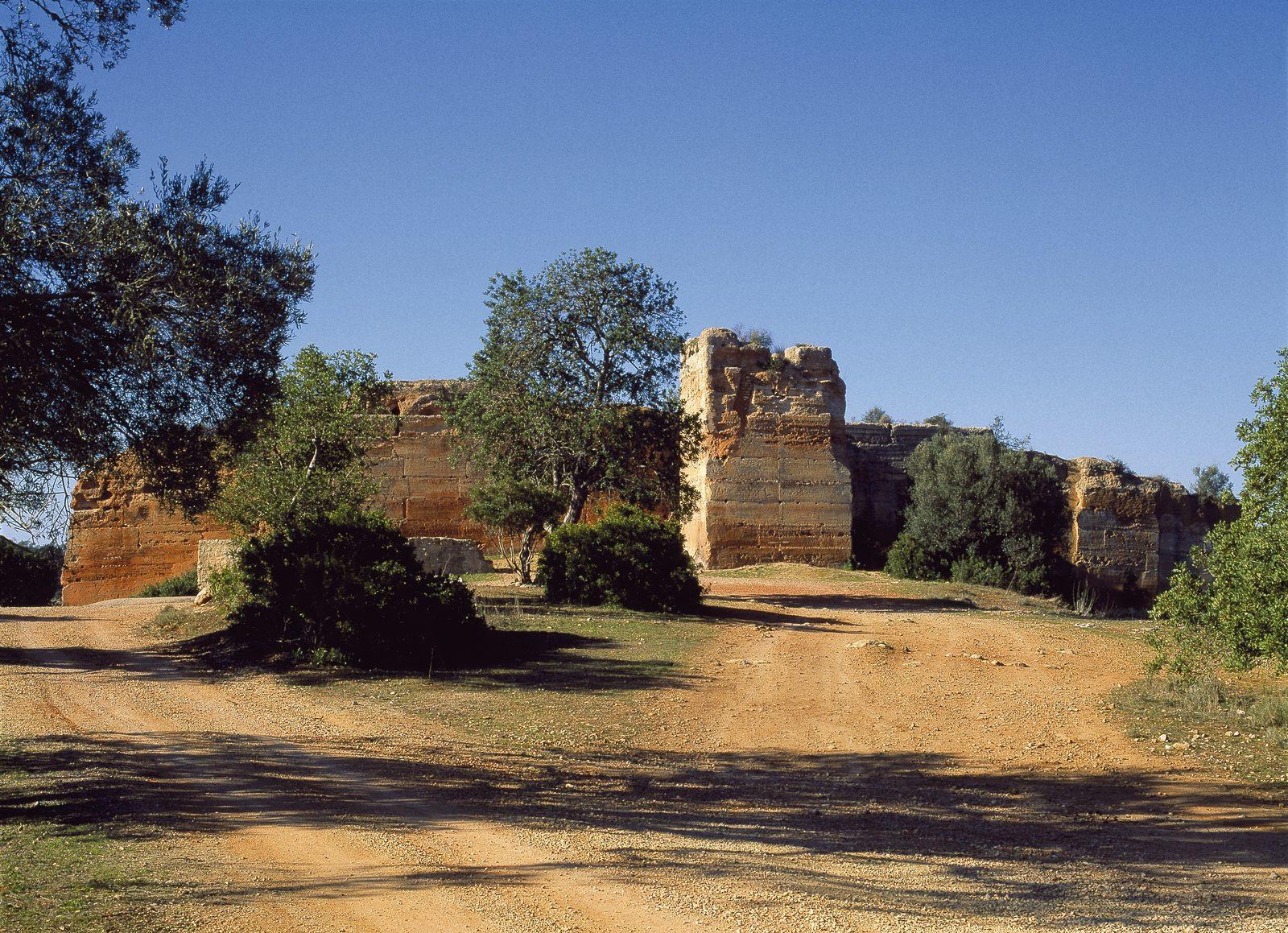
At the edge of the hamlet of Álamo, about 11 km south of Alcoutim, stands a Roman dam. It sits in the Fornalha gully, a tributary of the Guadiana. It is a straight wall about 40 metres long, more than 8 metres high and 2.8 metres thick, built of mortared greywacke blocks laid in horizontal courses. Seven buttresses are visible on the south side. It is thought to have held around 2,100 cubic metres of water in a reservoir some 90 metres long. The archaeologist Estácio da Veiga identified and recorded it in the late 19th century, and it probably supplied the Roman villa of Álamo nearby. It has been a listed monument since 1992.

Alcoutim·Spring
Barranco do Velho◈ Villages

Barranco do Velho

Easy

Barranco do Velho is a village in the Serra do Caldeirão, in the parish of Salir, where the EN2 road crosses the Via Algarviana. This is cork oak country: cork still carries great weight in the local economy, and the Serra do Caldeirão forest producers' association has its headquarters here. The church dates from 1944. The village also has the Casa dos Cantoneiros (the old roadmenders' house), the Fonte Férrea spring and several drinking fountains and old irrigation tanks. At the fountains people still use 'cocharros', cups made of cork. For walkers it is an unavoidable stop. Sector 5 of the Via Algarviana ends here (29.5 km from Cachopo, graded very hard) and Sector 6 begins, running 14 km to Salir and passing early on the Faranhão windmill, with views from the hills to the coast. Link 6, coming from Ameixial, joins the route about 2 km away. For a short outing, the PR17 circles the village in 5.5 km, almost always in the shade of cork oaks. The village has a restaurant, a craft shop and a medronho brandy distillery.

Loule·Spring
Bordeira◈ Villages

Bordeira

Easy

Village and surrounding area with trails and access to very open landscapes on the western Algarve coast. Bordeira maintains the spirit of a rural Vicentine community, with few houses, silence, and an intimate relationship with the land. The paths leading from the village lead to landscapes of raw and expansive beauty, among fields, cliffs, and ocean.

Aljezur·Spring
Cabanas de Tavira◈ Villages

Cabanas de Tavira

Easy

A tranquil and welcoming village by Ria Formosa, ideal for those seeking a calmer and more authentic Algarve. The waterfront promenade along the lagoon is perfect for walking in the late afternoon, with views over the salt pans and the island in front. Cabanas maintains the spirit of a genuine coastal community, with good fish and seafood restaurants.

Tavira·All year
Cacela Velha◈ Villages

Cacela Velha

Easy

A tiny village perched on a white cliff with stunning views of the Ria Formosa and the ocean. The few whitewashed houses, the medieval church, and the fortress create a poetic scene untouched by time. Below, the deserted beach stretches for kilometers between the lagoon and the sea, accessible only by boat when the tide rises.

Vila Real de Santo Antonio·All year
Cachopo◈ Villages

Cachopo

Easy

The northernmost and largest parish of Tavira (197.56 km2), located in the Serra do Caldeirao. A remote and traditional village with about 1000 permanent residents. Known for its cork oak groves, the annual Sausage Fair (January/February), and strong rural traditions: wool weaving, embroidered lace, honey, cork, wool, and cheese. The typical architecture includes single-story houses with schist walls, whitewashed facades, colorful railings, and Algarvean chimneys. The Via Algarviana passes through the village (Sector 5 starts here).

Tavira·Spring
Caldas de Monchique◈ Villages

Caldas de Monchique

Easy

A small thermal and green refuge nestled in a valley of the Monchique mountains, where thermal waters of 32 degrees have been bubbling up from the earth since Roman times. The thermal complex and romantic gardens create an atmosphere of timeless tranquility, surrounded by dense forests of eucalyptus and cork oaks. The pure mountain air and the sound of flowing water make this place a balm for escaping the coast.

Monchique·All year
Alcoutim Castle◈ Heritage

Alcoutim Castle

Easy

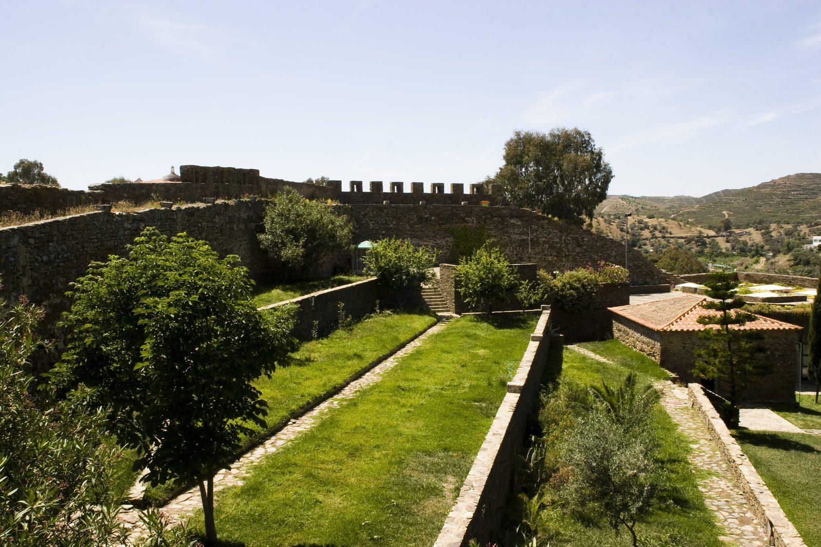
Alcoutim Castle was built on the orders of King Dinis around 1304, when the Guadiana became the border with Castile. It stands on a hill between the river and the Cadavais stream, and it was in this town that the Iberian kings signed the Peace of Alcoutim in 1371. From the wall walk you look out over the Guadiana to Sanlúcar on the far bank. On the north side a viewing scope points at Castelo Velho, the Islamic fort 1 km outside town. Inside is the archaeology museum, opened in 2000, with an exhibition running from the Neolithic to the 20th century. The old powder magazine holds 'Jogos Intemporais': 39 game boards carved into slabs of schist and 18 gaming pieces, all found at Castelo Velho. It is the largest set of Islamic-period games from a single archaeological site in Portugal.

Alcoutim·All year
Paderne Castle◈ Heritage

Paderne Castle

Moderate

Paderne Castle is a 12th-century Almohad fort built of rammed earth on a hilltop about 100 metres high, inside a tight bend of the Quarteira stream. It stands roughly 2 km south of Paderne village, between the coast and the limestone hills of the Barrocal. King Sancho I took it in 1189, only to lose it again soon after. The Order of Santiago, led by Paio Peres Correia, captured it for good in the mid-13th century. The original village of Paderne stood inside these walls and only later moved to where it is today. Tradition has it that this is one of the castles shown on the Portuguese flag. What survives are the rammed-earth walls, the detached albarrana tower and the shell of the chapel of Nossa Senhora da Assunção by the entrance. The castle has been a listed monument since 1971, and restoration of the walls was completed in December 2023. The valley below holds a medieval bridge, a watermill and the Quarteira stream biodiversity trail, all linked by the PR1 ABF walking route.

Albufeira·Spring
Cerro da Cabeça◈ Nature

Cerro da Cabeça

Moderate

A peculiar limestone elevation in the Algarve's leeward side, Cerro da Cabeca is a site of great geological and ecological value rarely visited. The caves and rock formations sculpted over millions of years reveal the deep geological history of the Algarve. The Mediterranean vegetation covering the slopes hosts rare botanical species and discreet but diverse fauna.

Olhao·Spring
Cerro de São Vicente◈ Viewpoints

Cerro de São Vicente

Moderate

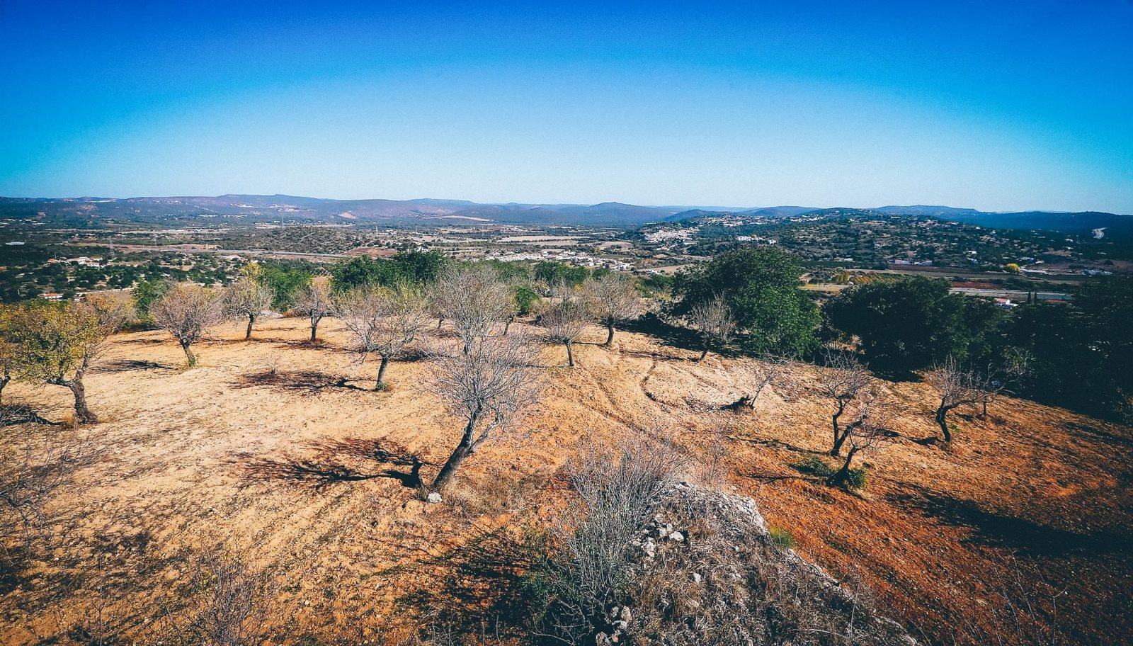
Cerro de São Vicente is a 169-metre hill west of Paderne with the ruins of an old windmill on top. It is the high point of the PR2 ABF walking route and one of the best places to take in the Barrocal countryside around the village. From the summit you look over the valleys of the Alte and Algibre streams, which meet nearby to form the Quarteira. The valleys cut through Upper Jurassic rock about 160 million years old. You can also pick out the remains of a former brickworks, with its chimneys and flooded clay pits, and the motorway crossing the valley. The PR2 ABF is an 11.5 km loop that leaves Paderne, passes the chapel of Nossa Senhora ao Pé da Cruz and the hamlet of Purgatório, climbs the hill and returns along the Alte and Algibre floodplains, between dry-stone walls and almond, fig and carob trees.

Albufeira·Spring
1 / 5