Algarve Atlas

Hidden Gems

12 hidden gems found

Suggest a hidden gem
Odeleite Dam◈ Nature

Odeleite Dam

Easy

The Odeleite dam was built in 1997 on the stream of the same name, to irrigate farmland and supply water to part of the Algarve. It is a rockfill dam with a maximum height of 65 metres and a crest 347 metres long, and its reservoir covers about 720 hectares of winding bends between steep slopes. From the air it looks like a dragon, and it was as the 'Blue Dragon' that an aerial photograph made it famous online. Since 26 June 2026 it has had a river beach, next to Odeleite village. The opening was put off for several years because of drought. The bathing area is a floating platform of 20 by 10 metres with two pools, one for children, reached by two floating walkways and a bridge. Above it are a terraced sun deck, the bar and the changing rooms. There is parking and lifeguard cover, and the site includes a centre for non-polluting water sports. In 2026 it was the only inland beach in the Algarve with a Blue Flag.

Castro Marim·Summer
Cerro da Cabeça◈ Nature

Cerro da Cabeça

Moderate

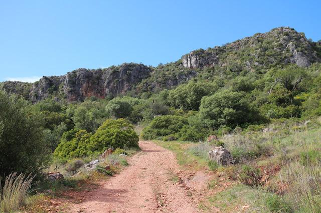
A peculiar limestone elevation in the Algarve's leeward side, Cerro da Cabeca is a site of great geological and ecological value rarely visited. The caves and rock formations sculpted over millions of years reveal the deep geological history of the Algarve. The Mediterranean vegetation covering the slopes hosts rare botanical species and discreet but diverse fauna.

Olhao·Spring
Fonte Benémola◈ Nature

Fonte Benémola

Easy

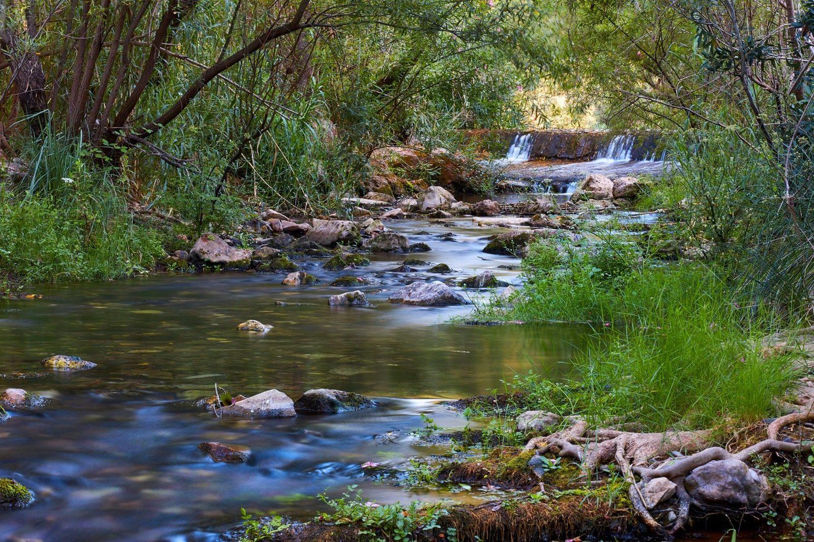
Fonte Benémola is a 390-hectare protected landscape between Querença and Tôr, in the limestone hills of Loulé. Its great asset is water: the Menalva stream, which further down becomes the Algibre, is fed by springs that keep it flowing along about 60% of its course even in summer. The main ones are 'O Olho' and Fonte Benémola itself. The stream is lined by a dense gallery of willow, ash, poplar and oleander, unusual for the Algarve. Old weirs have been rebuilt and hold back still pools, and you can still see irrigation channels, water wheels with their buckets, a watermill and ruined lime kilns. It is a good place for birds: grey heron, kingfisher, bee-eater, hoopoe and golden oriole among others. Terrapins live in the stretches that hold water all year, and signs of otter turn up from time to time, though the animal itself is rarely seen. The PR16 trail loops round the valley in 4.2 km and passes the spring, where there is a picnic area.

Loule·Spring
Fonte Grande, Alte◈ Nature

Fonte Grande, Alte

Easy

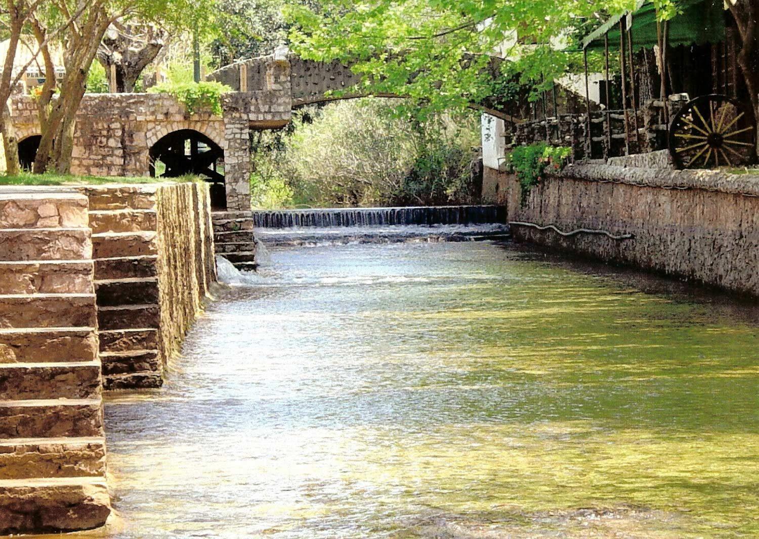
Fonte Grande is the spring where the Alte stream begins its run through the village. The water comes from underground: it belongs to the Querença-Silves aquifer, the largest freshwater reservoir beneath the Algarve, and surfaces here before flowing down to the Queda do Vigário waterfall. It is the busiest spot in Alte in summer. There is a natural swimming pool, space for barbecues and picnics, and an open-air amphitheatre used for shows. For centuries this spring and Fonte Pequena were the meeting place of the village women, who came here to wash clothes and fetch water. Fonte Pequena is about 300 metres away, towards the centre of the village.

Loule·All year
Fonte Pequena, Alte◈ Nature

Fonte Pequena, Alte

Easy

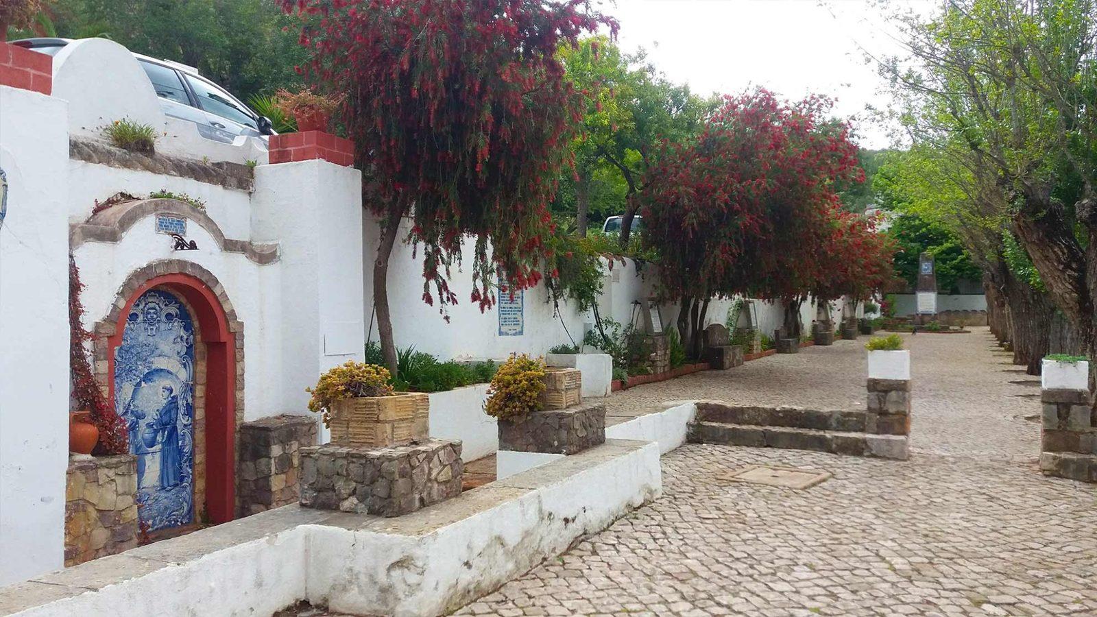
Fonte Pequena is one of Alte's two historic springs, on the bank of the stream between Fonte Grande and the village centre. This is where the village honours its poet, Cândido Guerreiro, with a set of tile panels showing his portrait and some of his poems. There is a small leisure area by the water. Like Fonte Grande, it was for centuries a meeting place for the village women, who washed clothes and fetched water here. The water comes from the springs of the Querença-Silves aquifer and runs on down the stream, past vegetable plots, irrigation channels and old mills, to the Queda do Vigário.

Loule·All year
Mata Nacional das Dunas de Vila Real de Santo Antonio◈ Nature

Mata Nacional das Dunas de Vila Real de Santo Antonio

Easy

Extensive dune pine forest near Vila Real de Santo Antonio, ideal for walking and cycling away from the coastal hustle. The trails among the soft pines and dune vegetation offer shade and coolness even on the hottest summer days. The sound of birds and the aroma of resin create an atmosphere of peace and reconnection with nature.

Vila Real de Santo Antonio·All year
Amoreira Landscape◈ Nature

Amoreira Landscape

Easy

The mouth of the Aljezur River into the Atlantic Ocean creates one of the most special landscapes on the western Algarve coast. The junction of river and sea forms a unique ecosystem — at low tide, the riverbanks create a calm and sheltered beach area, ideal for families. Dark and dramatic cliffs, extensive sandy areas, and the color contrast between the river and ocean waters complete the scene. Located in the Vicentina Coast Natural Park, this landscape goes far beyond a classic beach.

Aljezur·Summer
Pego do Inferno◈ Nature

Pego do Inferno

Moderate

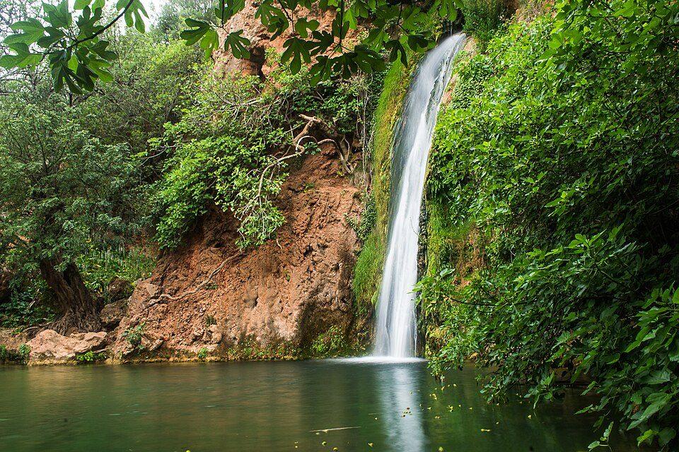
Waterfall and natural lagoon near Tavira, Pego do Inferno is one of the most talked-about natural escapes among locals. The water cascades down a rocky wall into an emerald-green lagoon, surrounded by lush vegetation and refreshing shade. It is an unexpected oasis in the Algarve interior, perfect for a refreshing dip in the warm months.

Tavira·Spring
Queda do Vigário◈ Nature

Queda do Vigário

Easy

Queda do Vigário, also called the Alte waterfall, is a 24-metre drop on the Alte stream, at the opposite end of the village from the springs. The water does not come from recent rain but from underground: it rises at the Alte springs upstream, part of the Querença-Silves aquifer, the largest freshwater reservoir beneath the Algarve. It travels through fractures and cavities in Lower Jurassic limestone and comes to the surface where it meets less permeable rock. Because it carries so much dissolved carbonate, it deposits calcite on the banks and bed of the stream as it meets the air. That is how the tufa the waterfall runs over was formed, and it preserves plant remains: grasses, moss, and olive and oak leaves.

Loule·Spring
Castro Marim and Vila Real de Santo António Marsh Nature Reserve◈ Nature

Castro Marim and Vila Real de Santo António Marsh Nature Reserve

Easy

This was the first nature reserve created in Portugal, in March 1975. It covers about 2,300 hectares beside the mouth of the Guadiana, spread across the municipalities of Castro Marim and Vila Real de Santo António. Close to 70% of it is wetland: salt marsh, brackish water, salt pans and tidal creeks. The rest is dry farmland and the first slopes of the hills. Large numbers of waterbirds pass through, overwinter or nest here, making the reserve one of the most important birding areas in the country. The black-winged stilt is its symbol, and the site is a Ramsar wetland of international importance. The Lezíria and Carrasqueira creeks are important fish nurseries, and salt-making is still the main economic activity inside the reserve. The visitor and interpretation centre is at Sapal de Venta Moinhos and, since December 2023, has housed an immersive permanent exhibition about the protected area.

Castro Marim·Spring
Rocha da Pena◈ Nature

Rocha da Pena

Moderate

Rocha da Pena is a limestone plateau about 2 km long, 7 km from Salir, topping out at close to 480 metres. It sits where the hills meet the Barrocal and is a protected landscape managed by Loulé council. From the top the view takes in the full circle. More than 500 plant species have been recorded here, some of them endemic, medicinal or aromatic, and about 122 bird species have been seen, most of them resident. The stone ramparts on the plateau may date back to the Iron Age. It matters for the geology of the Algarve too: fossils of Metoposaurus algarvensis, a prehistoric amphibian, were found in this area and underpin the Algarvensis Geopark's bid for UNESCO status. The PR18 trail climbs to the plateau and circles it in 6.7 km.

Loule·Spring
Sítio das Fontes◈ Nature

Sítio das Fontes

Easy

Riverside municipal park with 18 hectares on the left bank of the Arade River estuary, north of Estombar. The park is fed by natural freshwater springs that emerge from the ground, creating a unique ecosystem. Walking trails, picnic areas with barbecues, and a river beach complete the experience. The flat terrain makes it fully accessible, and the complete circuit takes about 45 minutes on foot. An Algarve without ocean beaches, but with all the freshness.

Lagoa·Summer